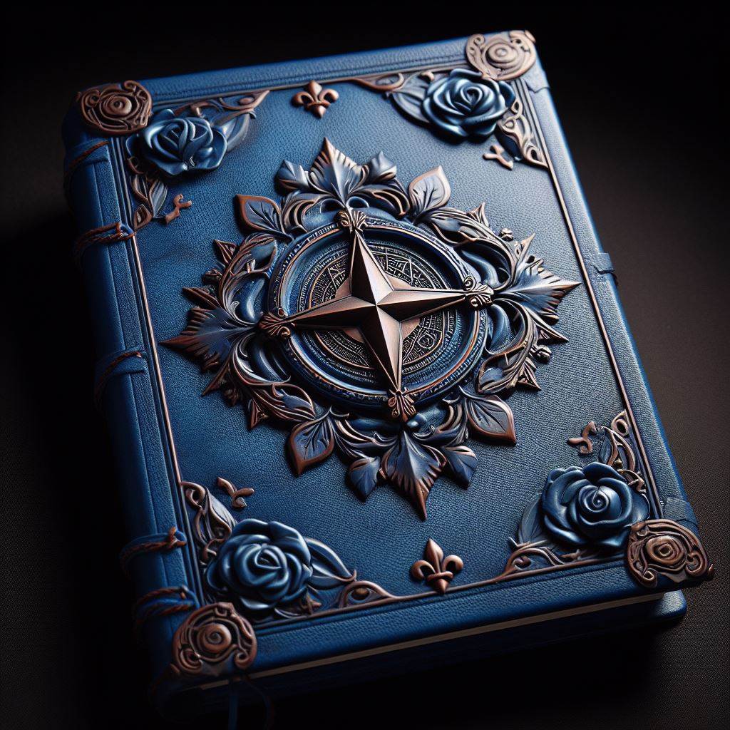
This set of three volumes is written in archaic Annish, bears the seal of the Annwyn Empire and, based on the dates found in the book, is over seven hundred years old. Its pages are packed with dense rows and columns of figures. Most of the columns are keyed by date and location. Other sections are declination and other conversion tables used to convert celestial readings to latitude, longitude, and a mysterious third coordinate called "juxtaposition. that seems to relate to proximity to The Shadowlands"
The book's final volume contains instructions on performing the various calculations, though this section is more of a cheat sheet than a well-constructed teaching guide.
One complication: the numbers in the book were calculated over five hundred years ago, and the positions of the stars (other than The Star That Guides) have changed over that time, sufficiently so to introduce significant error. The book does contain a procedure for converting the various calculations into any arbitrary future time. However, this procedure is quite complex.
The entire book is quite difficult to comprehend, and its math is very difficult to perform (requires proficiency in Celestial Navigation and an Intelligence of 13+). Even a minor error in performing any specific calculation could result in extreme inaccuracy in the final result.
The last few pages of the final volume are labeled "errata" and update the equation used to calculate juxtapositions and conjunctions. In the margins of this section are several handwritten notes labeled with author and date that span multiple centuries. These notes complain that there are still inaccuracies in the updated formula and propose various workarounds to accommodate this "drift."